Introduction to Airborne Magnetic Surveys
Airborne magnetic surveying is a geophysical method used to image anomalies in the earth's magnetic field caused by variations in the magnetization of the crust. These variations may be indicative of structural or lithological contrasts in the subsurface. Magnetic data can be collected on the earth's surface, from the air, ground, at sea, or in a borehole. This information can be used by exploration geophysicists in their search for mineral-bearing ore bodies or hydrocarbon-bearing sedimentary structures, or by archaeologists searching for buried artifacts.
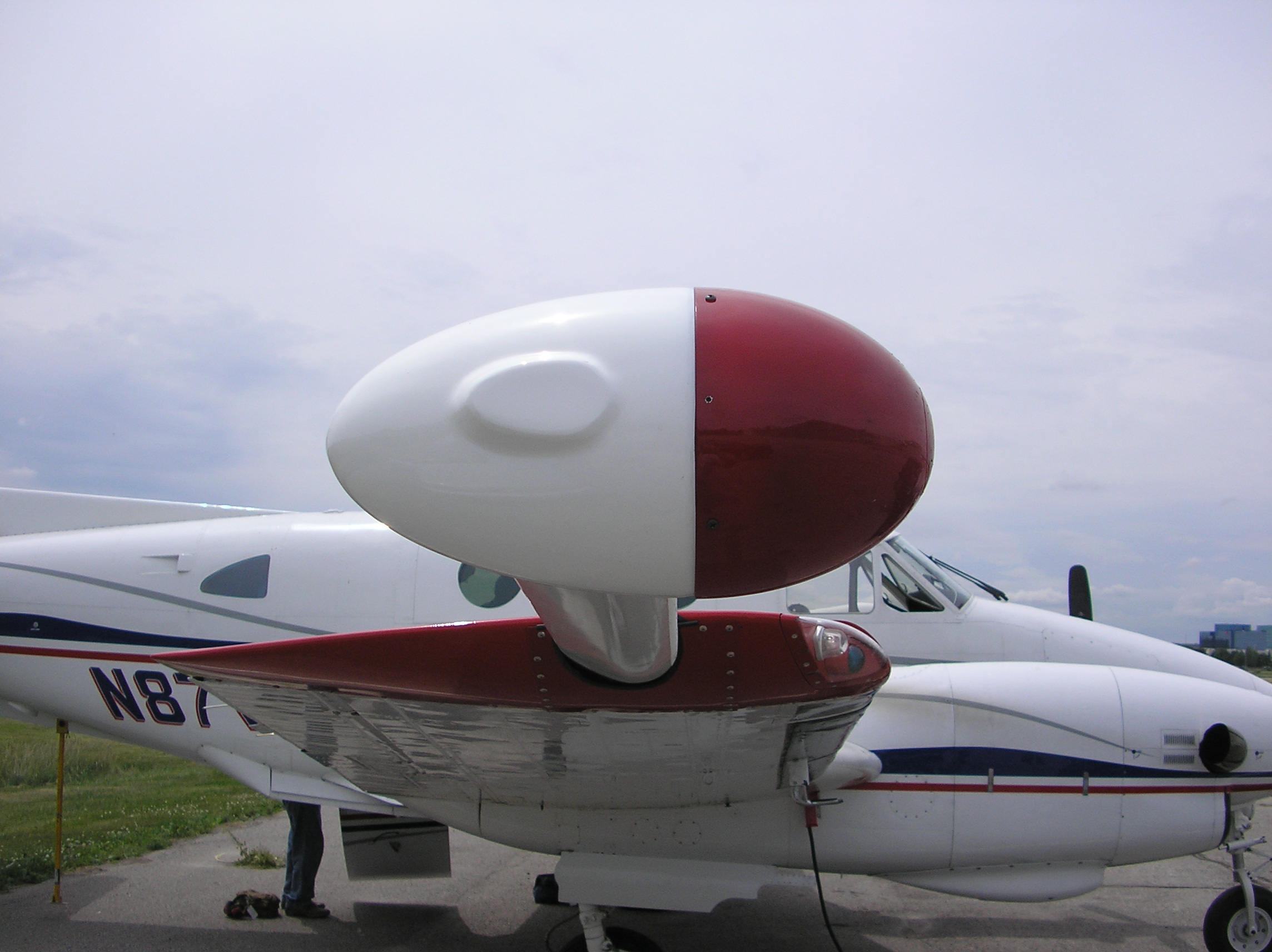
There are two basic types of magnetometers: scalar and vector. Scalar magnetometers (ex. proton precession and cesium) measure the total strength of a magnetic field and vector magnetometers (ex. fluxgates) measure a component of a magnetic field in a particular direction.
Applications of Magnetic Surveys
Airborne magnetic surveys can be deployed for many different applications, including:
1. Prospecting for magnetic ores or host rocks.
- magnetic iron deposits
- chrome- or PGE-bearing ultramafic rocks
- some massive sulphide bodies (usually nickel)
- diamond-bearing kimberlites
- tin-tungsten or rare-earths associated with granites
2. Geological mapping
- lithologic and structural mapping in weathered or covered areas
- sedimentary basin geometry and structure, mapping intrasedimentary sources
- regional studies for tectonic purposes (e.g. crustal studies)
- exploration for favourable ore environments
3. Depth to basement mapping
- hydrocarbon exploration
- non-metallic mineral exploration
- exploration for minerals associated with buried basement surfaces (e.g. gold and unconformity uranium)
4. In conjunction with airborne electromagnetic surveys and ground IP surveys
- to help discriminate between metallic and non-metallic condution
- to assist in interpretation of conductive or polarizable body geometry
- to determine geological environment of source
5. Engineering, groundwater, hazard and archeological studies
- mapping faults and buried valleys
- depth determination to the Curie point isotherm
- mapping geothermal energy potential
- searching for metallic objects
Specialists in Airborne Magnetic Surveys
Terraquest was established in 1984 and since then, our dedicated team has flown over 1,500 airborne geophysical surveys using both fixed wing and helicopter platforms. Our professional crews provide significant experience having carried out airborne magnetic surveys, airborne gravity surveys, airborne radiometric surveys, and airborne electromagnetic surveys on five continents.
Our quality data sets have been utilized in the exploration for base and precious metals, kimberlite, hydrocarbons, uranium, rare earth minerals and water. The company has performed exemplary surveys for both small and large exploration groups as well as many government agencies, including the USGS. References can be provided upon request. Visit www.terraquest.ca.
Ed. GMH